Day Trip: Navajo Needles
by Bruce • April 30, 2023 • Roadies • 0 Comments
This weekend I needed to get out for a bit, and earlier in the week, someone in the Facebook “American Southwest” group gave me my excuse.
Curiously enough, they had posted an image of a page from an old NM travel guide (1969’s “101 Trips in the Land of Enchantment ” by Betty Woods) that described a drive that caught my interest.
The destination was in northwestern New Mexico, in Navajo country, which meant it was within range for a day’s outing. And with my interest in all things Hillerman, taking this drive meant I would cover some new roads in Navajo country.
A quick internet check supported that the destinations were still present (rocks don’t move much) and still public, so, come Saturday morning, I’d hit the road.
Woods’ title to the book entry was “Todilto Park”, but it’s two main points of interest for me were two sandstone spires in some rugged red rock country off of a scenic side road to Navajo Route 12, Scenic Route 31. Here’s hoping they were still there and still accessible.
Saturday morning, I got up and was on the road by 8.
My drive would take me west on I-40 through Grants to Gallup, and the morning sky was absolutely cloudless and blue for the drive. Summiting the hill west of Mesita, my views of the distant mesas and buttes to the southwest were the clearest I can recall. There was little traffic, the day had not warmed up yet, and there was little wind. It was a peaceful journey, and I acknowledged familiar sites along the way- rocky ridges near the Tohajilee turnoff, the white mission on the hill at Laguna Pueblo, the Continental Divide pull-off at Thoreau, the red-walled mesas north of Coolidge and Bluewater, the bunker mounds of Fort Wingate southeast of Gallup, and the greeting hand of Church Rock by Gallup.
In Gallup, I stopped to top off my truck and to grab a soda. I ate my brunch of packed leftover Taco Bell tacos in the station lot as I lined out my afternoon course: US-491 north to Ya-Hey-Tey; NM/AZ-264 west to Window Rock, AZ; Indian Route 12 north to Fort Defiance, AZ, then back east slightly to Navajo, NM, where I would find Route 31.
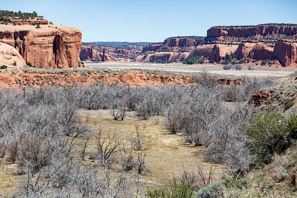
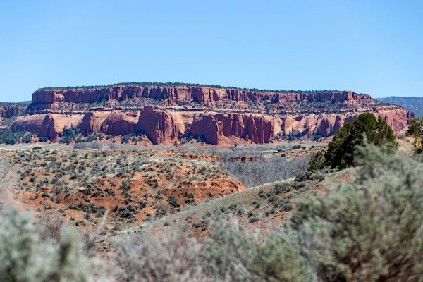
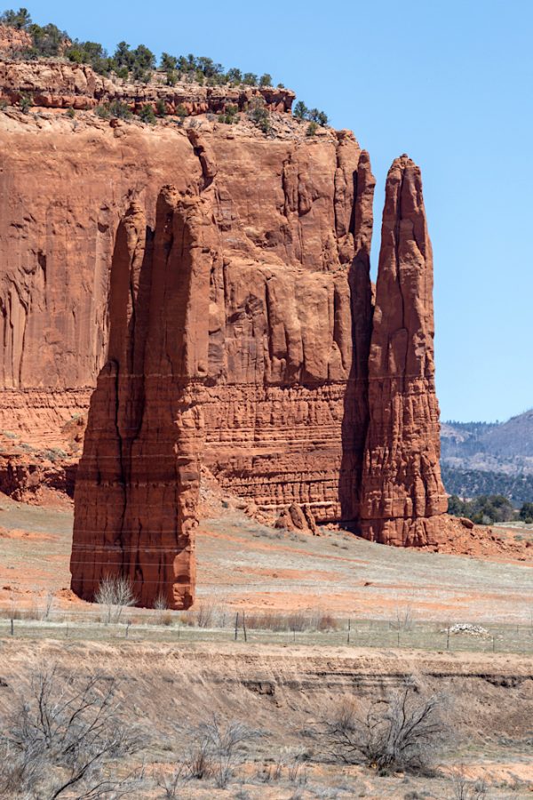
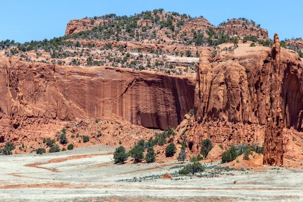
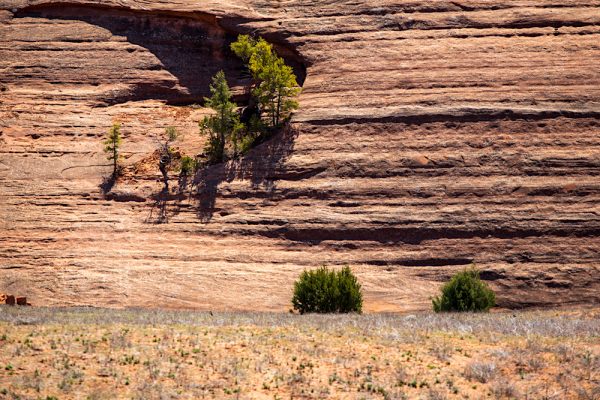
The drive from Fort Defiance to Navajo was scenic, as advertised, with red rock mesas steering the road. I stopped a few times to take in the views. I cruised through a neighborhood in Navajo when I arrived: a giant volcanic plug sits smack in the middle of it. And past a turn-off to Red Rock Dam, I found what the old guide described as the turn-off for Route 31, which, at outset, had me nervous. Locals had used ditches beside the road near this junction as an unauthorized landfill. After several rises and falls and turns on the dirt road, though, the trash heaps waned, and the destination I came to see revealed itself. A bend in the road opened a view across a broad valley to more scenic red mesas, and near one, a dark upright dagger of sandstone.
Welcome to Todilto Park.
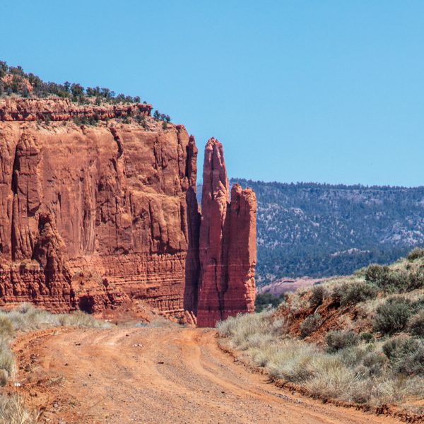
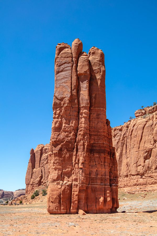
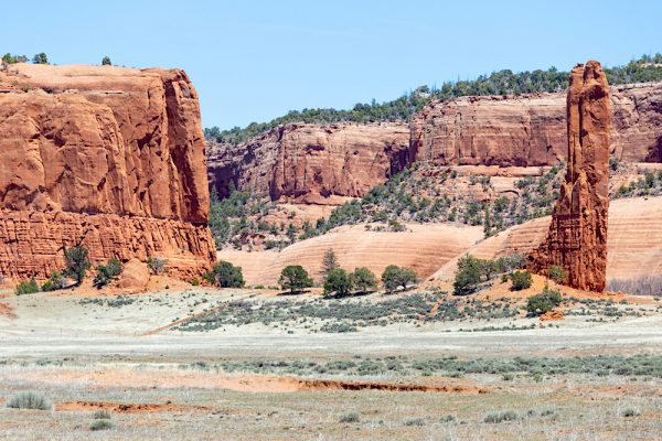
Route 31 starts elsewhere now in Navajo, I believe, although my old access road got me to it. The new 31 is a paved side jog that starts and returns to Indian Route 12, but my old gravel road took me to it and also near the first of my objectives for this drive- to find Venus Needle.
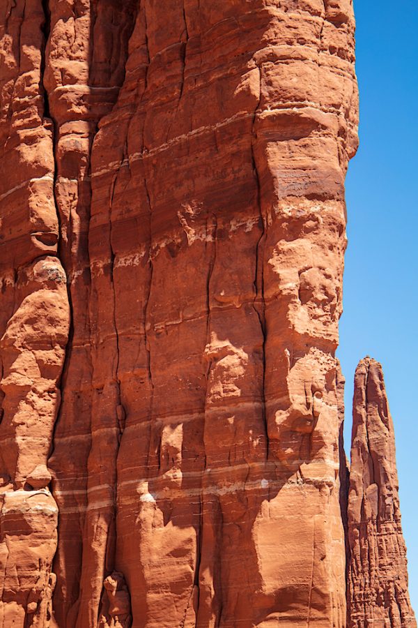
I stopped and parked off a track that runs through the field hosting the tall formation. I bothered the solitary red spire for many photos.
After a while of marveling at the odd monument, I got back in my truck, checked a map, and saw that my second objective- to find Cleopatra’s Needle- would be satisfied around the corner if I continued on the paved road north.
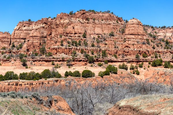
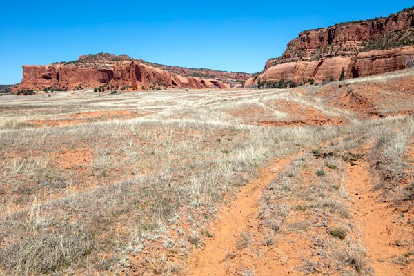
I rounded the mesa and took a chance, seeing a track wind through a field up to the skirt of the rock. I took it a bit.
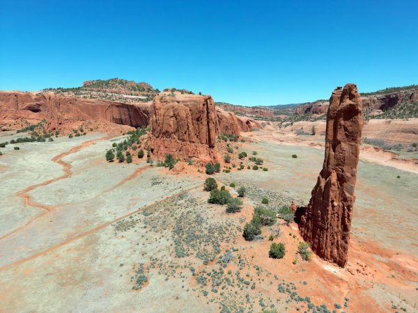
When the trail got a little dicey for my old truck, I got out and flew my drone to what, at that time, looked like a second sandstone spire near the adjacent butte (which I couldn’t quite identify from where I was parked).
Yes, I had found Cleopatra’s Needle.
I enjoyed the moment and the view standing by my truck in the quiet of the warm afternoon, and then backtracked back to Route 31 and enjoyed a slow roll around the rest of the scenic road before getting back on Indian Route 12.
Route 12 was new to me, and it took me north from Navajo to Crystal, NM, where I then got onto NM Road 134, which took me east to Sheep Springs, and then up and over the Chuska mountain summit at 8,000 feet, and then back down to US 491.
This road over the Chuska range is also known as Narbona Pass, and has the distinction of being one of the few things named after a person by the Navajo as a means of honor. Narbona was a wealthy and esteemed Navajo elder who led the repulsion of a Mexican militia in Navajo territory in 1835. Narbona died in a confrontation with the U.S. Army in 1849. Typically, Navajo culture avoids speaking the names of the dead.
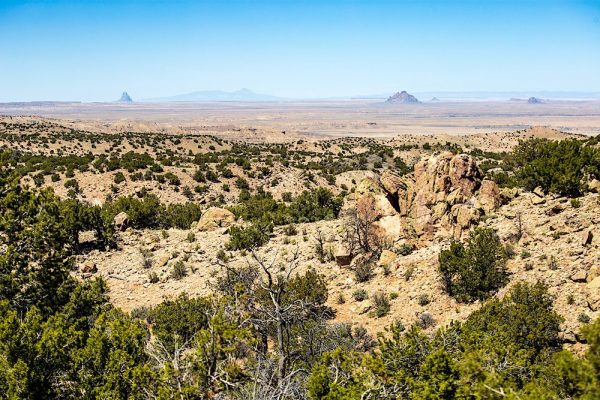
A side road off of NM 134 took me up a small sharp rise which offered a view north across part of the Navajo Volcanic Field which reaches to Shiprock.
The drive up and over the mountain was mellow on a cloudless day, with snow still sitting in shade on the north side of slopes near the pass summit.
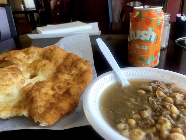
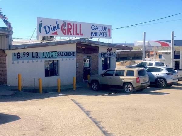
Once I was off of the Chuskas, I hopped on US 491, the main route that runs north-south from Shiprock to Gallup, and headed back south to Gallup, and found the Diné Grill, where I finished my trip (with a nod to Hillerman’s Leaphorn and Chee, who stop at a range of cafes in the mysteries) to get some lamb stew and some fry bread.
Late afternoon set upon me, so it was time to head back east and home. Except for the 30-minute delay outside of Thoreau where three lanes of I-40 had to merge into one (why? WHY?), the drive home was as mellow and pleasant as my trip out had been.
Another wonderful day trip that was worth doing.

