Road Trip: Photography, Utah – Petrified Forest National Park
by Bruce • March 12, 2022 • Roadies • 0 Comments
I left mid-morning on Wednesday, March 2, and headed west on I-40.
While the ultimate destination of the trip was Kanab, Utah, I planned to get there in two days, and make a few stops on the way.
By a stroke of blind foresight last year, I had purchased a National Parks Annual Access Pass in May of 2020 for $80- a pass which would give me access to any National Park without fee for a year. At that time, my logic was that the Pass would cover my access costs for the Great Sand Dunes, the Black Canyon of the Gunnison, and Colorado National Monument when I drove to my niece’s graduation in Nebraska- and it did. I wasn’t anticipating that it would get me into 5 other parks nearly a year later (at an average vehicle entry fee of $30), and when this trip popped up, I remembered the Pass, and got excited.
Heading into Arizona, I knew I would be driving by Petrified Forest National Park (as I had many times before), but I was determined to not ignore it this time. And I am glad I didn’t. I have finally concluded any National Park or Monument is, by nature of its elevated status, worthy of a visit.
Before getting to the park though, I approached the turnoff to the wooden lookout tower at the Fort Courage tourist trap in Houck, AZ, a place I recall passing numerous times in road trips as a kid but did not recall visiting, and I decided to stop and see it. Because it is now an abandoned lot with dilapidated and graffitied buildings, a location of relics from Route 88 America. Featuring a hogan, a boarded-up gas station and restaurant, and what’s left of a calvary fort, it’s mostly garbage now, but it was a unique place to visit nevertheless.
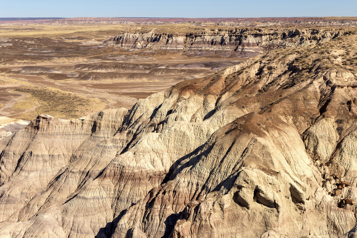
I arrived at the north entrance of Petrified Forest National Park around 2 PM, and in the light of a mild wintery afternoon early in March, the sky over the painted desert was clear for viewing the park. After a stop at the visitor’s center, I hopped on the park’s scenic drive route and made my way from overlook to overlook on the 28 mile drive.
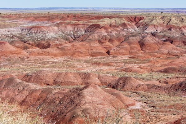
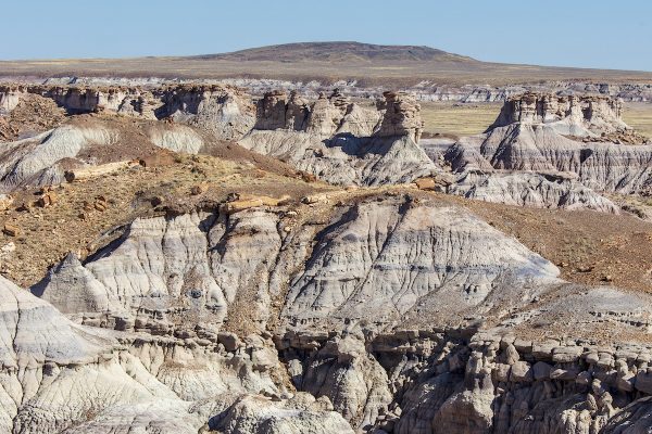
I enjoyed seeing the red painted hills reach far into the distance from northern vistas.
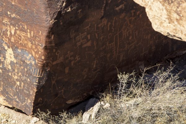
I also enjoyed seeing petroglyphs on Newspaper Rock at one pullout along the way through my camera.
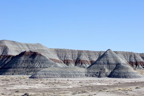
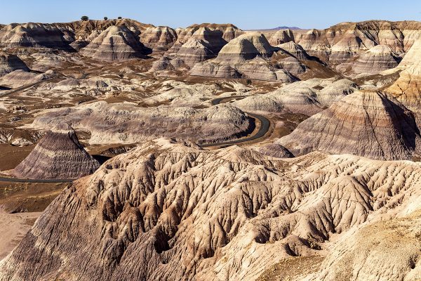
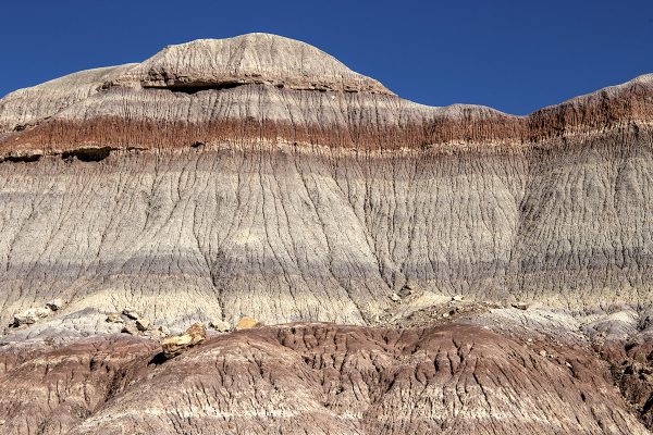
My favorite side trip in the park occurred towards the south end of the drive, where a spur drive takes visitors onto an area called the Blue Mesa, which featured not only some lovely blue-gray knolls crowned with hoodoos and petrified logs, but also a paved walking trail that lets one wander among the colorful mounds.
It took me nearly two hours to wander the scenic drive, but I fully enjoyed it, and exiting the park at its south entrance, I took Highway 180 west and rejoined I-40 in Holbrook, AZ.
As the sun dropped in the early evening, I made my way on west through Flagstaff to Williams, where I turned north to get to the Grand Canyon South Rim tourist village of Tusayan, where I would stop for the evening.

